Commute guides from airports, terminals, and hubs to key destinations – Real paths, timings, transfers, safety notes, routes, fares, schedules, terminal hubs, transport systems, and logistics — structured for getting around with clarity, speed, and reliability.
This new and updated Commute Guides serves as a centralized operating system for how people actually move across Major Cities and beyond– by train, buses, ferries, and local transfers. Built for how commuters actually travel through transfer points and friction, observed behavior and real-world constraints.
Routes are built for:
- Daily Commute
- Provincial Travel and Local Immersions
- Areas & Districts Transit Logic and Infrastructures
☎️ 7890 (Action Center Hotline) Department of Transportation (DOTr) → For PH public transportation services and passenger complaints.
– Quick Reference: Metro Manila Micro-Grid Maps Popular Starting Points
Commute Guides to Bus Terminals
Commute Guides Transportation Modes
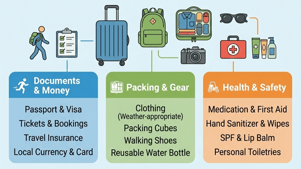
Commute Guides Travel Essentials
Airport to Major City Centers Commute Guides
Cross-city & Provincial Routes Commute Guides
Metro Manila Commute Guides Matrix
| District Hub | Anchor Point (Entry) | Primary Mode (Transit) | Alert Level (SOP) |
| Makati CBD | One Ayala Terminal (LRT/Bus/P2P) | Elevated Walkways (Dela Rosa/Ayala) | ⚠️ High: 24/7 strictly enforced “No Jaywalking” zones. |
| BGC | Market! Market! Terminal | BGC Bus (Cashless / Beep Card Only) | ⚠️ Med: 5th Ave weekend road closures (11 AM – 9 PM). |
| Ortigas | SM Megamall Busway | Emerald Ave Walking Spine | ⚠️ Med: Heavy “Gridlock” during payday Fridays. |
| Bay City | PITX / MOA Terminal | Parqal Linear Spine (E-Shuttles) | ⚠️ Low: High wind/salt spray during rainy season. |
| Alabang | VTX (South Station) | 360 Eco-Loop Shuttles | ⚠️ Med: SLEX “Bottle-neck” at Alabang Exit. |
| Manila Central | Central Terminal (LRT-1) | Lacson Underpass (The Pivot) | ⚠️ High: Pickpocket alert in high-density Lawton. |
| Cubao | Gateway / Farmers (MRT/LRT) | Indoor Mall-Corridor (Air-con) | ⚠️ Med: Confusing “Transfer Trap” signs—stay indoors. |
| North Hub | Unified Grand Station (UGCS) | Sky-Bridge Spine (SM to Vertis) | ⚠️ High: Active construction for MRT-7/Subway links. |
| East Hub | Masinag Station (LRT-2) | Antipolo Uphill Jeeps (Cogeo) | ⚠️ High: Flash-flood risk at Marikina-Pasig ground level. |
| Monumento | SM Grand Central (LRT-1) | Bonifacio Circle Overpasses | ⚠️ High: Heavy particulate pollution at street level. |
Key Takeaways
On Arrival — First Moves That Matter
- Pin your current location on your phone
- Identify the nearest mall or transport hub
- Check the last trip times if you’ll be moving late
Connectivity
- Get mobile data immediately.
- You don’t need fancy plans—what you need is reliability for maps, messages, and verification codes.
- Buy a SIM at the terminal, mall kiosk, or convenience store.
- Activate it on the spot. Do not leave without data.
Cash & Payments
- Cash still runs the street economy.
- Load small bills.
- ATMs are common in malls and terminals; standalone machines can be unreliable.
- GCash and Maya are useful later, but cash keeps you moving on Day 1
Understand the structure
- Rail for long, predictable movement
- Buses and jeepneys for corridors and local hops
- Terminals and malls as transfer nodes
🧳Later, you can explore Dream Destinations . Places worth imagining—before you ever arrive—but only after your basics are locked in.
🔎Use Homepage as your control panel. 🧳Gear Up for SE Asia Self-Guided Adventures
MappedAtlas improves with commuter reports. If you find outdated routes, changed timetables, or new paths, send a quick update.
Last updated: March 2026
Disclaimer: The information here is for guidance only. Schedules and fares are subject to change based on traffic, weather and maintenance without notice from the operators. Always allow extra time for your trip. Safe travel “Ka-Atlas”