
A centralized operating system for how people actually move across Metro Manila and beyond.
Manila Commute Index – Routes, Travel Essentials & Protocols
The new and updated Commute index is a structural directory of the most traversed transit corridors in Metro Manila. It serves as the primary navigation menu for finding operational documentation for specific journeys.

Routes, gateway hubs, transport systems, and logistics — structured for clarity, speed, and reliability.
 How To Use This Guide
Go Commute → Metro Manila & Provincial Commute, First-mile / last-mile logistics
Bus Terminals → Cubao, PITX, Monumento Sampaloc/Avenida, One Ayala, Buendia/Taft
Transit Lines → Jeepneys
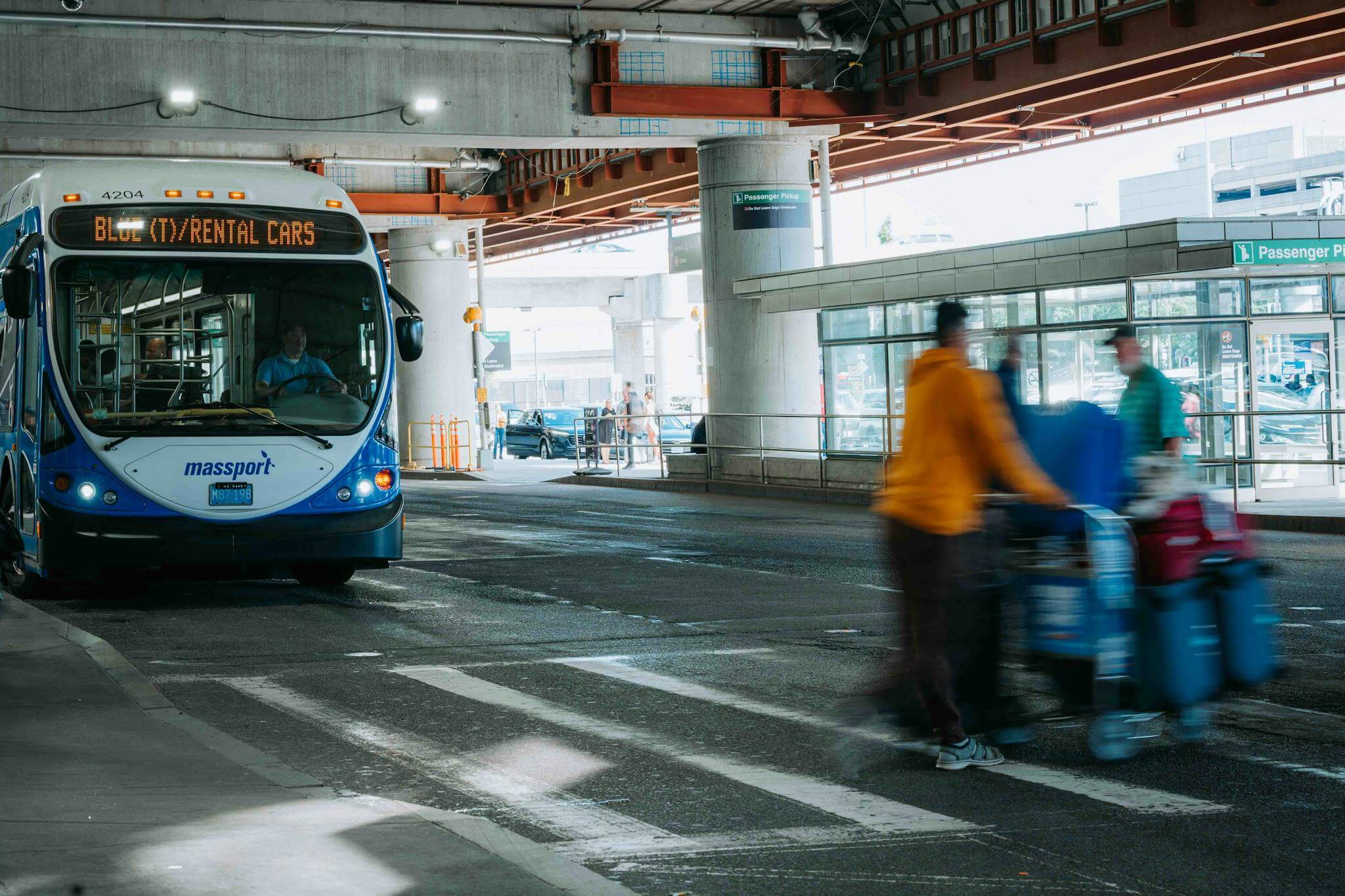
Buses & EDSA Carousel
MRT/LRT, P2P Buses, Pasig River Ferries

Street Logic → BGC, Ortigas, Makati, Bay Area, Manila, QC, Alabang
Inter-island Ferries → Routes, schedules, fares, operators, ports
Travel Essentials → universal rules of the road that apply across all districts
Quick Reference: Metro Manila Micro-Grid Maps
EDSA Corridor: North-South Backbone
Monumento to PITX: Full documentation of the EDSA Carousel Busway system, including median station access and footbridge logic.
North Avenue to Taft Avenue: Transit data for the MRT-3 (Blue Line), focusing on station-to-mall connections and rush-hour queue patterns.
Balintawak to Cavite (Dr. Santos): Documentation for the LRT-1 (Yellow Line), including the 2024-2025 Cavite Extension stations.
Aurora-Recto-España: East-West Corridor
Antipolo to Recto: Operational guide for the LRT-2 (Purple Line), covering the Marikina-Pasig and Katipunan education clusters.
Cubao to Quiapo/Ermita: Documentation for the España-Quezon Blvd jeepney and bus routes, the primary link for the University Belt and Government agencies.
Ortigas to BGC: Trans-city links including the Kalayaan Bridge (BGC-Ortigas Link) and UV Express routes.
Central Business District (CBD) Internal Links
Ayala-Makati Loop: Internal jeepney routes and the One Ayala terminal logic
.
BGC Bus Network: Documentation of the West, East, and North routes within Bonifacio Global City.
Ortigas Center Loop: Walking paths and shuttle services connecting SM Megamall, Robinsons Galleria, and ADB Avenue.
Master protocols and timing rules for Manila public transport
Rush Hour Protocol
5:30-9AM & 4:30-8PM weekdays → Rush Hour Survival
Rainy Day Contingency
Flood routes, elevated paths, backup options.
Midnight Safety Guide
Last trips, safe stops, group ride points
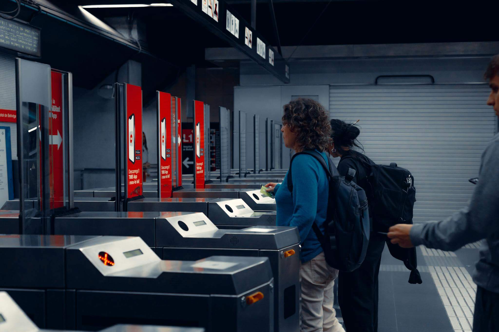
Payment & Ticketing
Beep cards, cash rules, P2P tickets, contactless
Start Here
First 24 Hours in Manila
Scam & Ripoff
Safety, Scams, and Arrival Pitfalls Guide
MappedAtlas: Strategic Commute Index Intel Directory (2026)
| District Hub | Col 1: Anchor Point (Entry) | Col 2: Primary Mode (Transit) | Col 3: Alert Level (SOP) |
| 1. Makati CBD | One Ayala Terminal (LRT/Bus/P2P) | Elevated Walkways (Dela Rosa/Ayala) | ⚠️ High: 24/7 strictly enforced “No Jaywalking” zones. |
| 2. BGC | Market! Market! Terminal | BGC Bus (Cashless / Beep Card Only) | ⚠️ Med: 5th Ave weekend road closures (11 AM – 9 PM). |
| 3. Ortigas | SM Megamall Busway | Emerald Ave Walking Spine | ⚠️ Med: Heavy “Gridlock” during payday Fridays. |
| 4. Bay City | PITX / MOA Terminal | Parqal Linear Spine (E-Shuttles) | ⚠️ Low: High wind/salt spray during rainy season. |
| 5. Alabang | VTX (South Station) | 360 Eco-Loop Shuttles | ⚠️ Med: SLEX “Bottle-neck” at Alabang Exit. |
| 6. Manila Central | Central Terminal (LRT-1) | Lacson Underpass (The Pivot) | ⚠️ High: Pickpocket alert in high-density Lawton. |
| 7. Cubao | Gateway / Farmers (MRT/LRT) | Indoor Mall-Corridor (Air-con) | ⚠️ Med: Confusing “Transfer Trap” signs—stay indoors. |
| 8. North Hub | Unified Grand Station (UGCS) | Sky-Bridge Spine (SM to Vertis) | ⚠️ High: Active construction for MRT-7/Subway links. |
| 9. East Hub | Masinag Station (LRT-2) | Antipolo Uphill Jeeps (Cogeo) | ⚠️ High: Flash-flood risk at Marikina-Pasig ground level. |
| 10. Monumento | SM Grand Central (LRT-1) | Bonifacio Circle Overpasses | ⚠️ High: Heavy particulate pollution at street level. |

MappedAtlas improves with commuter reports. If you find outdated routes, changed timetables, or new paths, send a quick update.